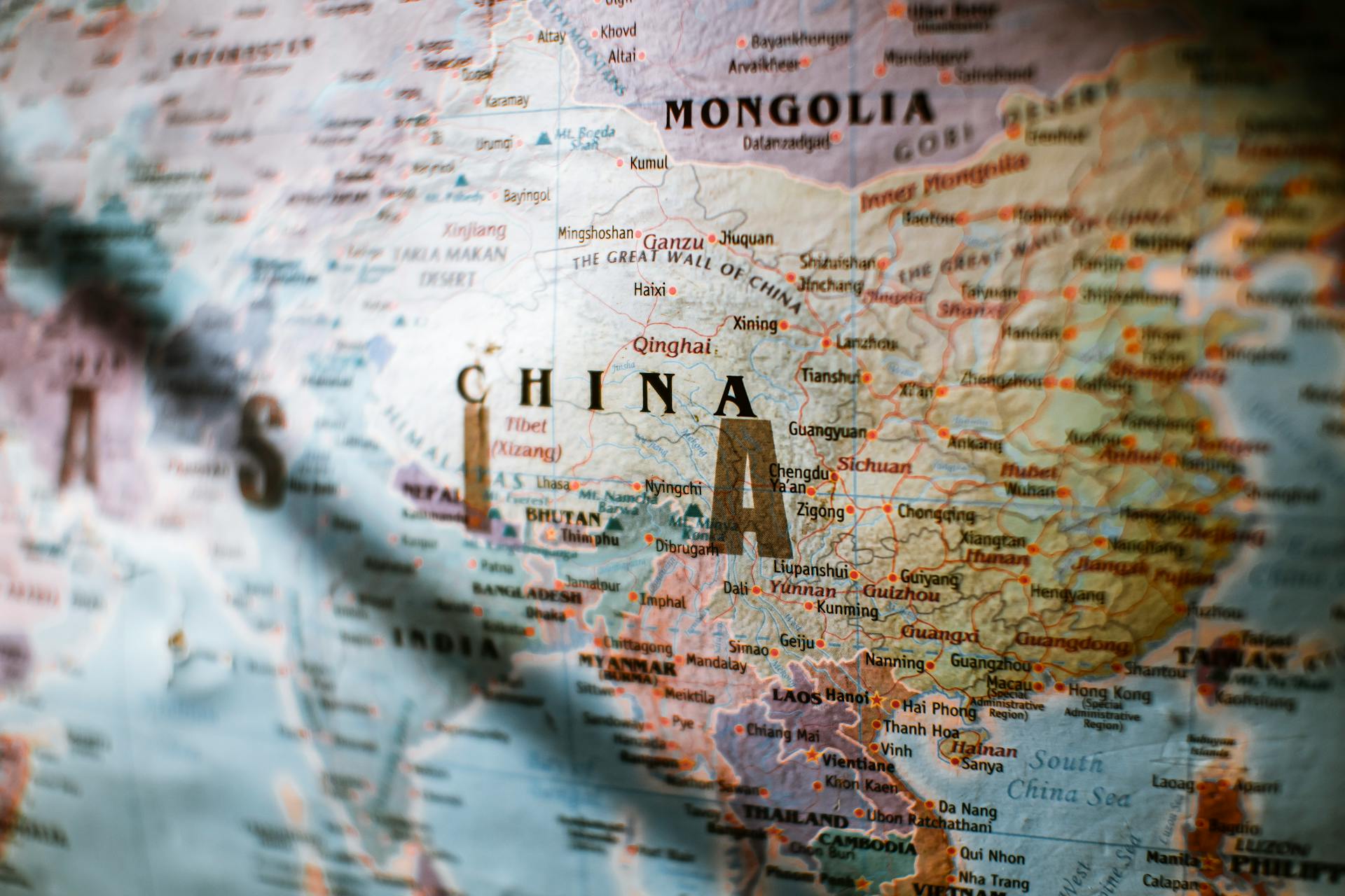
A political map is a visual representation of a country's or region's political boundaries, showing how different areas are governed. It's a crucial tool for understanding the distribution of power and decision-making processes.
A political map typically includes information about the country's administrative divisions, such as states, provinces, or municipalities. This information can be used to identify areas with similar characteristics, like population density or economic development.
To interpret a political map, look for the different colors or symbols used to represent various administrative divisions. These colors often indicate the level of government, such as federal, state, or local.
What is a Political Map?
A political map is a type of map that focuses on the boundaries and locations of civic entities, such as countries, states or provinces, cities, and other administrative divisions.
It usually displays each country's capitals and major cities. Sometimes, it also includes other information like major transportation routes, national borders, and bodies of water.
The main purpose of a political map is to provide a visual representation of the bureaucratic organization and structure of a region.
Understanding Political Maps
A political map is primarily used to understand the political boundaries and divisions of a region. It helps viewers gain knowledge about the countries, states, provinces, cities, and administrative divisions within a particular area.
Political maps are essential tools for diplomats, governments, and international organizations to track and negotiate boundaries, resolve territorial disputes, and understand geopolitical contexts. This is crucial in diplomacy and international relations.
Researchers, geographers, and analysts use political maps to study trends, analyze voting patterns and demographic information, and conduct spatial analysis. This is done in research and analysis settings.
A political map typically includes various elements such as capitals of countries or provinces, most prominent cities, geographical areas that are important to understand the political organization of the area, most important rivers, and details of absolute interest for each country or province.
The borders on a political map represent those that have been accepted internationally as valid, not those that each country believes are the limits of its territory. This is important to note when looking at international borders.
The type of political organization that appears on a map can be the division of territory into parties or town councils, States or countries, Provinces, Counties, Fiefdoms, Emirates, Cities and Neighborhoods. This is useful for understanding the political structure of a certain place.
Here are some common uses of political maps:
- Education: In schools and educational settings, political maps teach students about the political geography and structure of different regions.
- Diplomacy and International Relations: Political maps are essential tools for diplomats, governments, and international organizations.
- Research and Analysis: Researchers, geographers, and analysts use them to study trends, analyze voting patterns and demographic information, and conduct spatial analysis.
- Reference and Information: These tools are in reference books, atlases, and online resources that serve as a visual reference for general knowledge about the world and its political divisions.
Reading and Interpreting Political Maps
To read and interpret a political map, you need to know how to place yourself concerning the information on the page. North will always be at the top of the map, south at the bottom, east on your right, and west on your left.
The first step in reading a political map is to read the map's title to figure out what the map's topic and intent is. This will give you a sense of what to expect from the map.
To get a better understanding of the map's theme and purpose, examine the map's marks. They'll reveal more about the map's intent and what it's trying to convey.
Here's a quick checklist to help you read a political map:
Read the map's title
Examine the map's marks
Look up the significance of the symbols in the legend
Estimate distances between points using the scale
Evaluate the direction using the compass rose
Part 6: Reading
Reading a political map is crucial to understanding its information. Every political map has north at the top and south at the bottom.
To start reading a map, look at the title to figure out its topic and intent. This will give you a sense of what the map is trying to tell you.
Examine the map's marks to reveal more about its theme and purpose. These marks can be symbols, colors, or other visual elements that convey information.
To understand the symbols on the map, look up their significance in the legend. This is usually found at the bottom or side of the map and explains what each symbol represents.
To estimate distances between points on the map, use the scale. This is usually found at the bottom of the map and tells you the relationship between the map's size and real-world distances.
A compass rose is also important for evaluating direction on the map. It's usually a symbol that indicates the four cardinal directions: north, south, east, and west.
To get the most out of your map, read it carefully and pay attention to the information it provides. This will help you answer your questions and gain a deeper understanding of the topic.
You might enjoy: What Do the Symbols on a Plat Map Mean
Part 7: Example
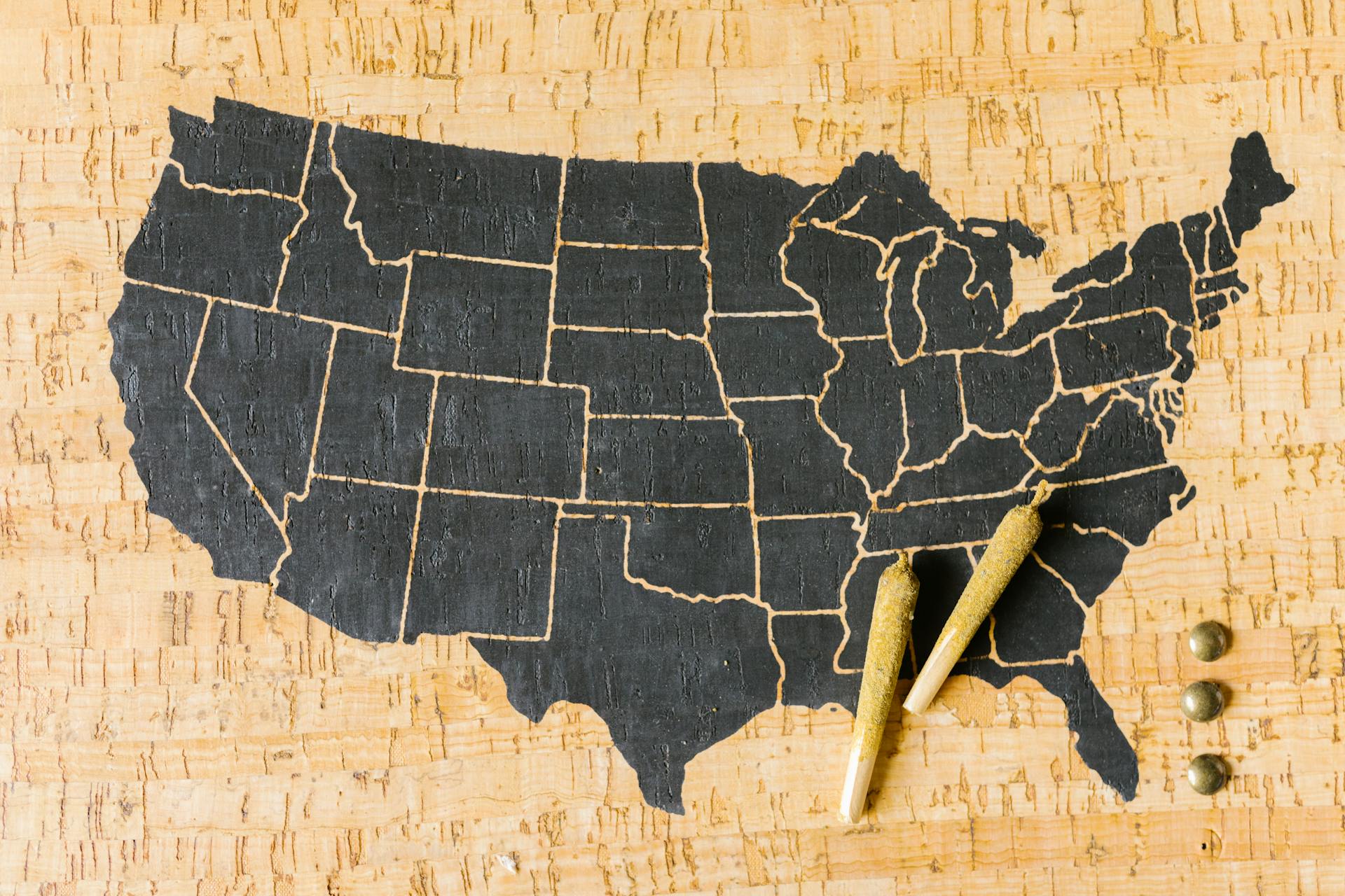
Reading and interpreting political maps can be a fascinating topic, and I'd like to dive into an example of a political map of the United States of America.
The United States of America is a republic with a federal government, which is made up of 50 states, one federal district, and several territories.
You can see this structure depicted on a political map, which also shows the national capital, Washington, D.C. The map highlights the state borders, state capitals, and other major cities.
Notice how the map includes Alaska and Hawaii, which are not part of the contiguous Continental United States. The Pacific and Caribbean regions are also shown, featuring these island territories.
Featured Images: pexels.com


